Current enrolment
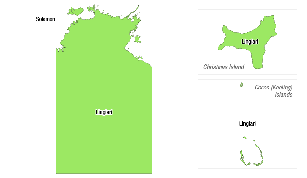
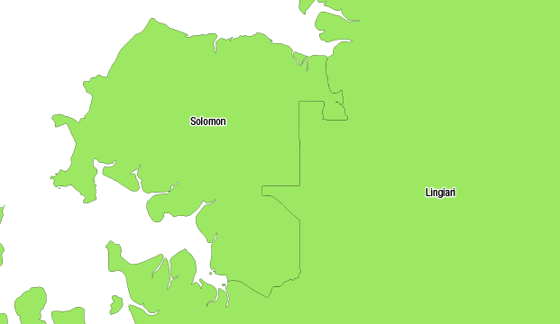
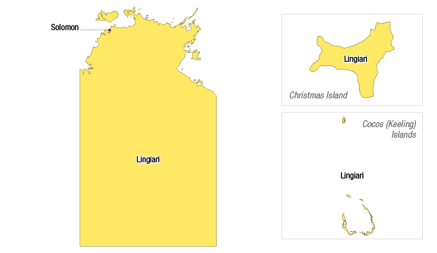
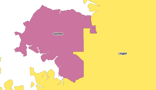
Maps illustrating how the enrolment of each division in the Northern Territory as at 15 October 2015 relates to the current enrolment quota.
Current enrolment key
Pink – over variance (71 265+)
Green – within variance (58 308
to 71 264)
Yellow
– under variance (0 to 58 307)
Division of Lingiari – current

Note: The division of Lingiari consists of:
- part of the Northern Territory
- Christmas Island – is an Australian territory located in the Indian Ocean
- Cocos (Keeling) Islands – is an Australian territory located in the Indian Ocean.
Division of Solomon – current

Projected enrolment
Maps illustrating how the projected enrolment of each division in the Northern Territory (as at the projection date of 7 August 2020) relates to the projected enrolment quota.
Projected enrolment key
Pink – over variance (73 163+)
Green – within variance (68 214
to 73 162)
Yellow
– under variance (0 to 68 213)
Division of Lingiari – projected

Note: The division of Lingiari consists of:
- part of the Northern Territory
- Christmas Island – is an Australian territory located in the Indian Ocean
- Cocos (Keeling) Islands – is an Australian territory located in the Indian Ocean.
Division of Solomon – projected
